Function to assess surfaces of OSM ways.
oi_im_surfaces(osm_sf)Arguments
- osm_sf
A
sfanddata.frameobject containing OpenStreetMap infrastructure data, obtained using theosmextractpackage.
Value
the osm_sf is returned with additional columns
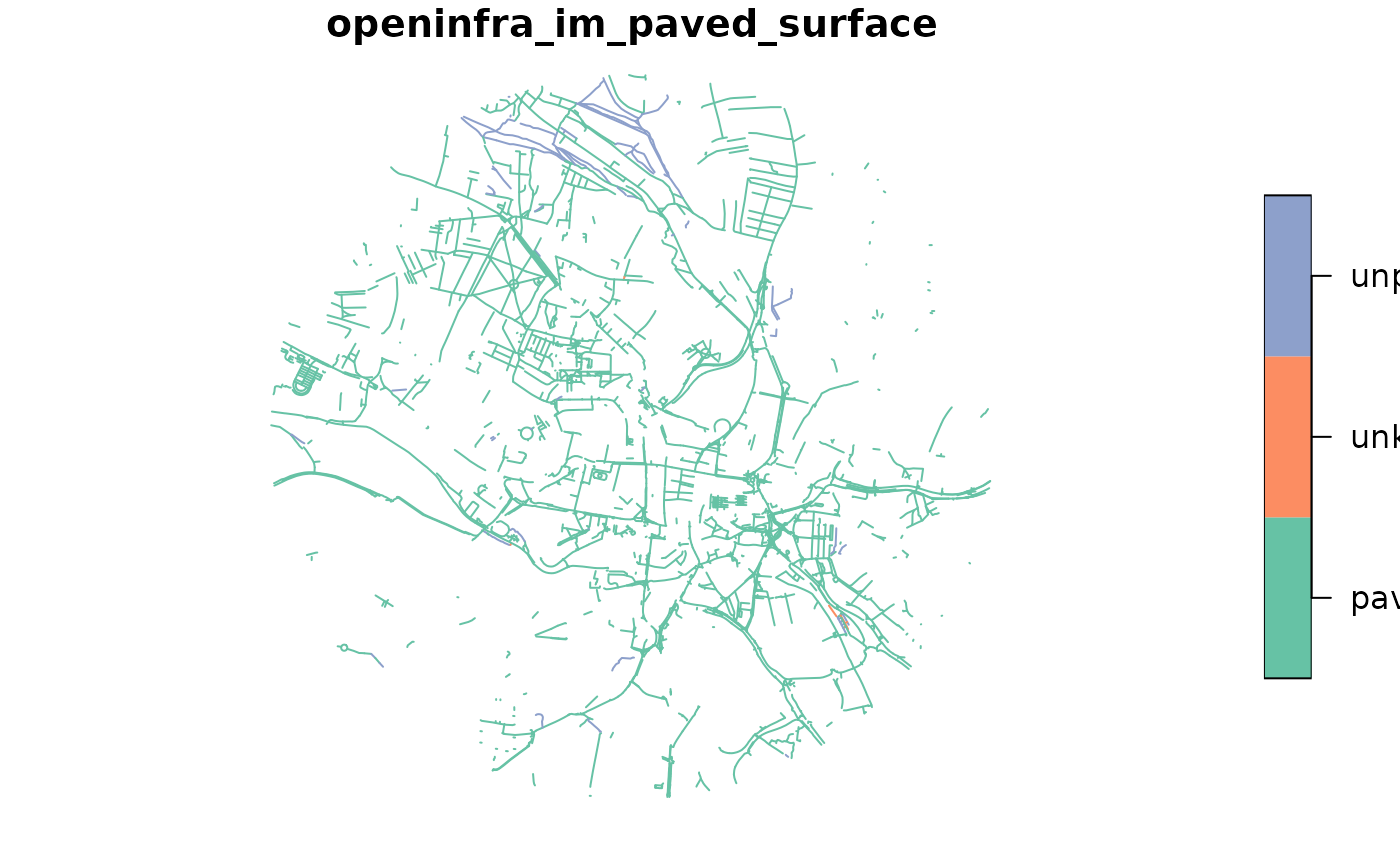
openinfra_im_paved_surface which assesses the presence and type of paving
with values c("paved", "unpaved", "unknown") and
openinfra_im_surface_level which assesses whether a way is even or
uneven with values c("even", "uneven")
on presence of surface paving, and whether or not the surface is even respectively.
Details
Note: the osm_sf must contain the following tags: c("surface", "smoothness")
Examples
data = example_data
output = oi_im_surfaces(data)
plot(output["openinfra_im_paved_surface"])

# Uncomment below to plot other columns
#plot(output["openinfra_im_surface_level"])
# Uncomment below to plot other columns
#plot(output["openinfra_im_surface_level"])