Function to assess pedestrian infrastructure data.
Source:R/oi_im_pedestrian_infra.R
oi_im_pedestrian_infra.RdThis function assesses types of pedestrian infrastructure based on definitions from current Inclusive Mobility guidance. Types of assessed infrastructure are: footways, footpaths, crossings, and implied footways.
oi_im_pedestrian_infra(osm_sf)Arguments
- osm_sf
A
sfanddata.frameobject containing OpenStreetMap infrastructure data, obtained from theosmextractpackage.
Value
The osm_sf data frame is returned with additional columns added:
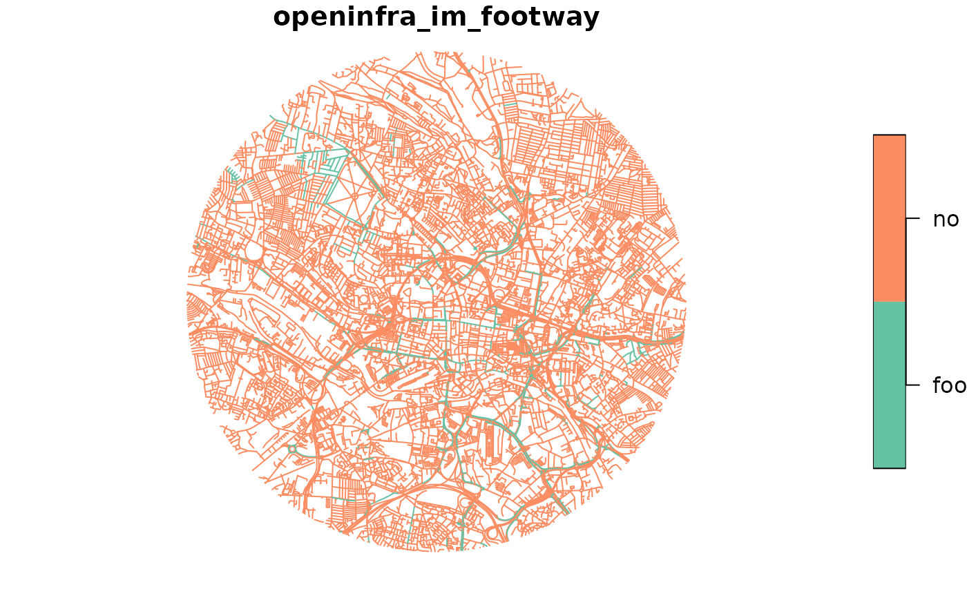
openinfra_im_footway which assesses the presence of footways with values
c("footway", "no"). openinfra_im_footpath which assesses the presence
of footpaths with values c("footpath", "no"). openinfra_im_crossing
which assesses the presence and type of pedestrian crossing with values
c("give-way crossing", "signal-controlled crossing", "unknown crossing type", "no"). openinfra_im_footway_imp which assesses
the presence of implied footways not implicitly tagged with values
c("implied footway", "no").
Details
Note: the osm_sf must contain the following tags: c( "footway", "sidewalk", "cycleway", "foot", "segregated", "access", "crossing", "footway")
Examples
data = example_data
output = oi_im_pedestrian_infra(data)
plot(output["openinfra_im_footway"])

# Uncomment below to plot other columns
#plot(output["openinfra_im_footpath"])
#plot(output["openinfra_im_crossing"])
#plot(output["openinfra_im_footway_imp"])
# Uncomment below to plot other columns
#plot(output["openinfra_im_footpath"])
#plot(output["openinfra_im_crossing"])
#plot(output["openinfra_im_footway_imp"])